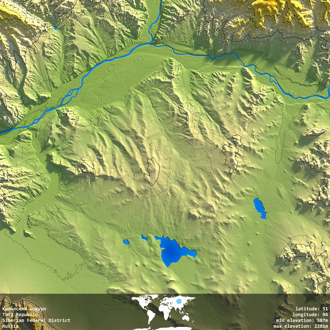
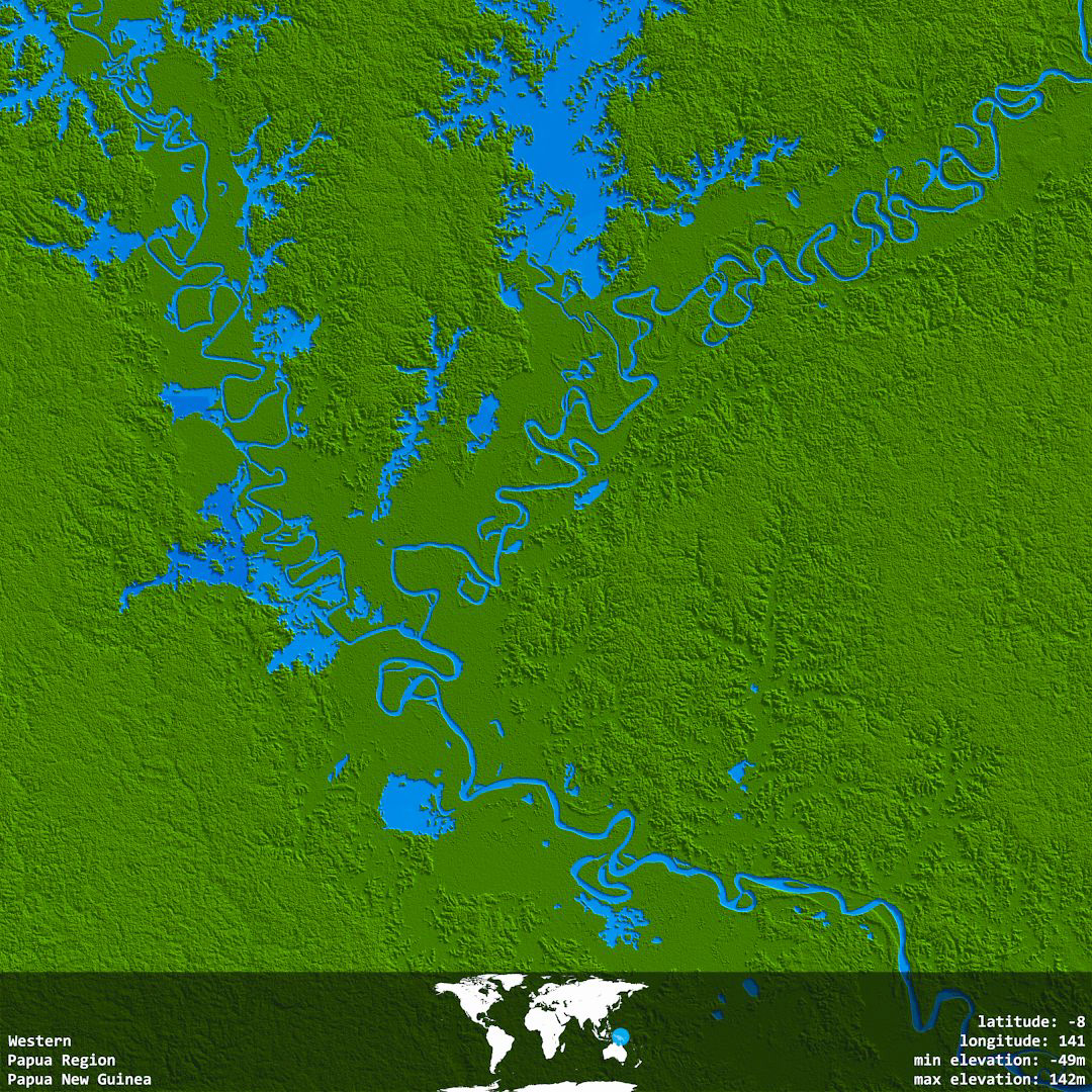
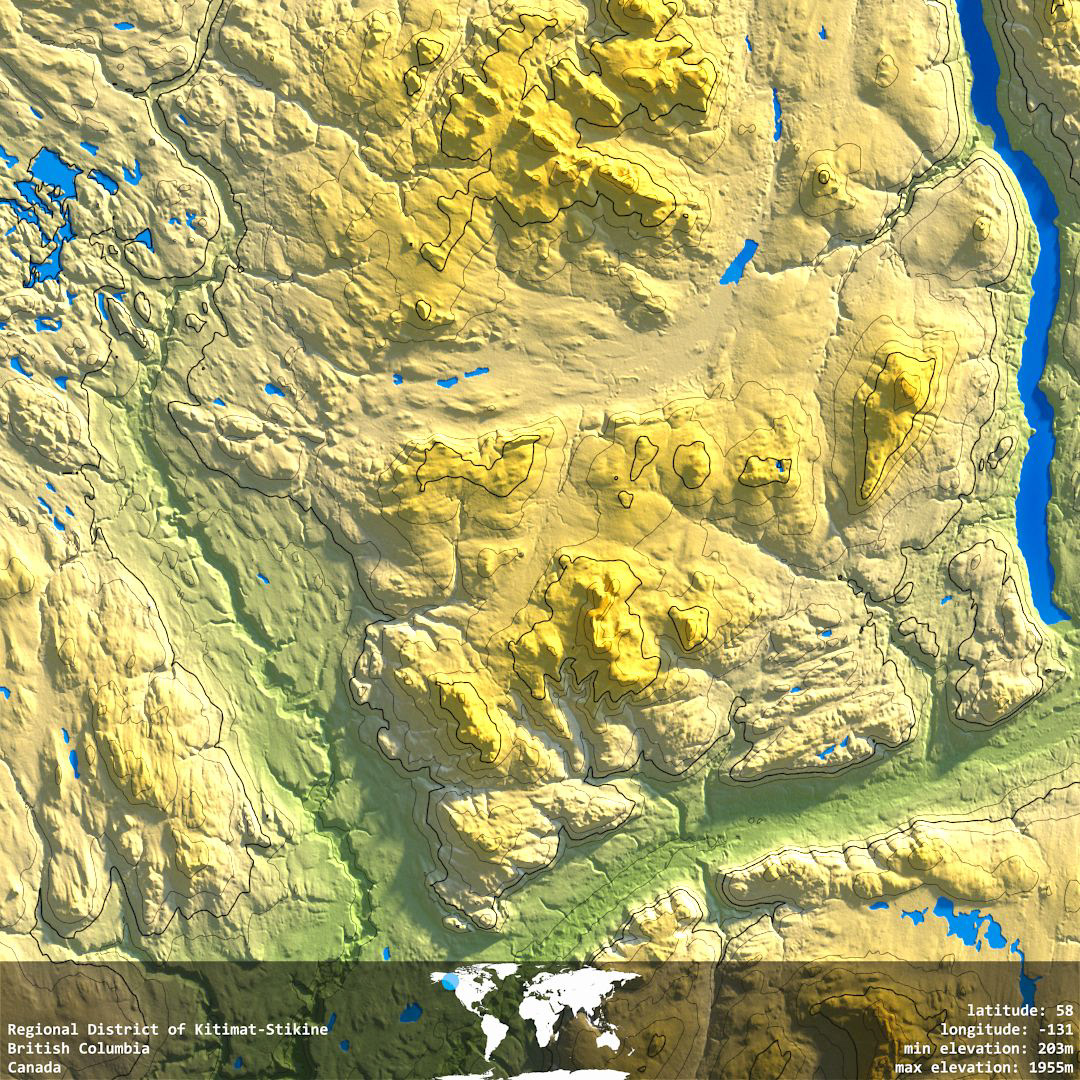
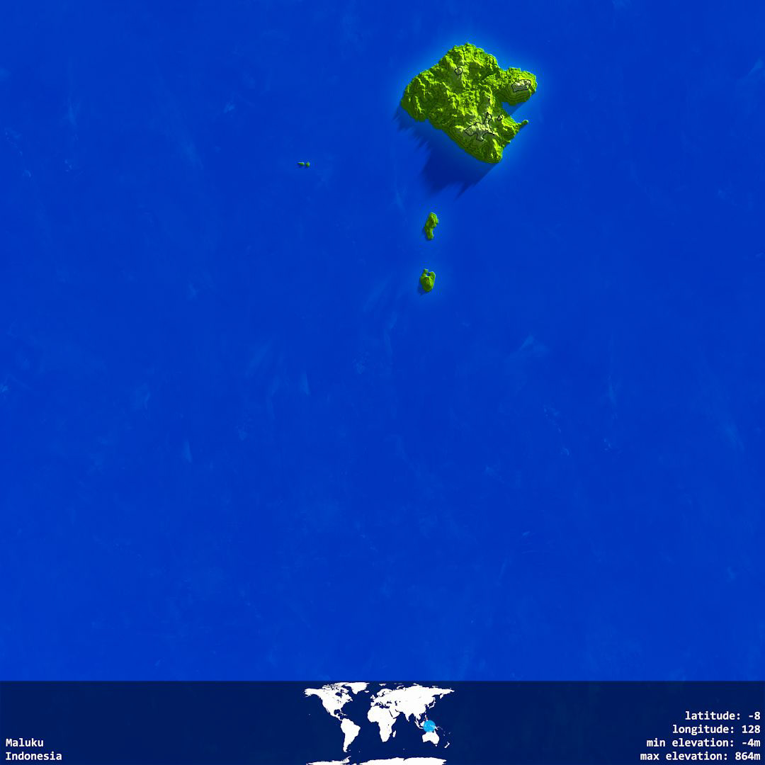
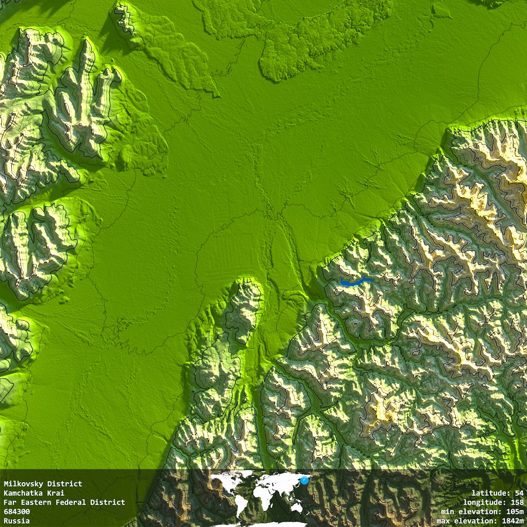
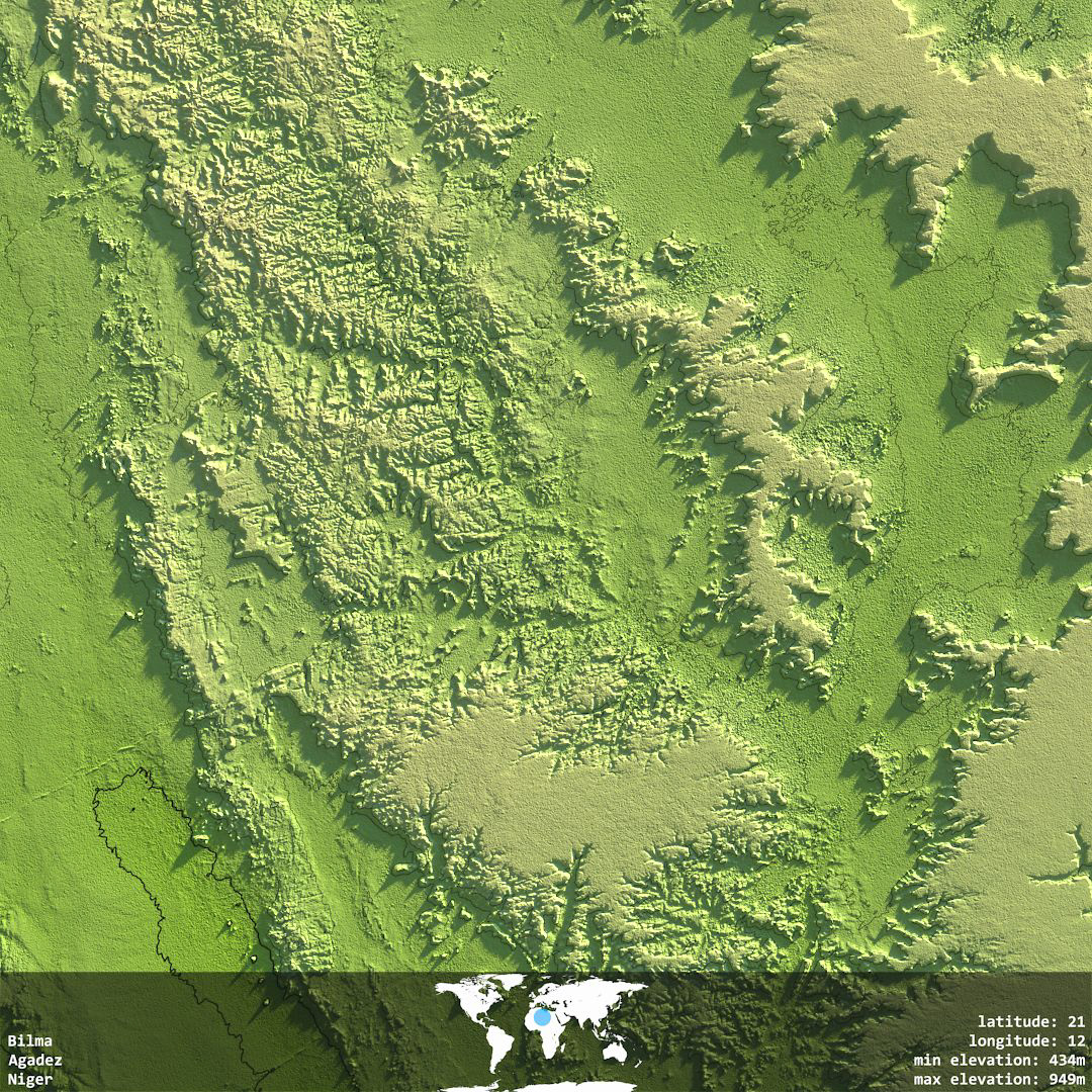
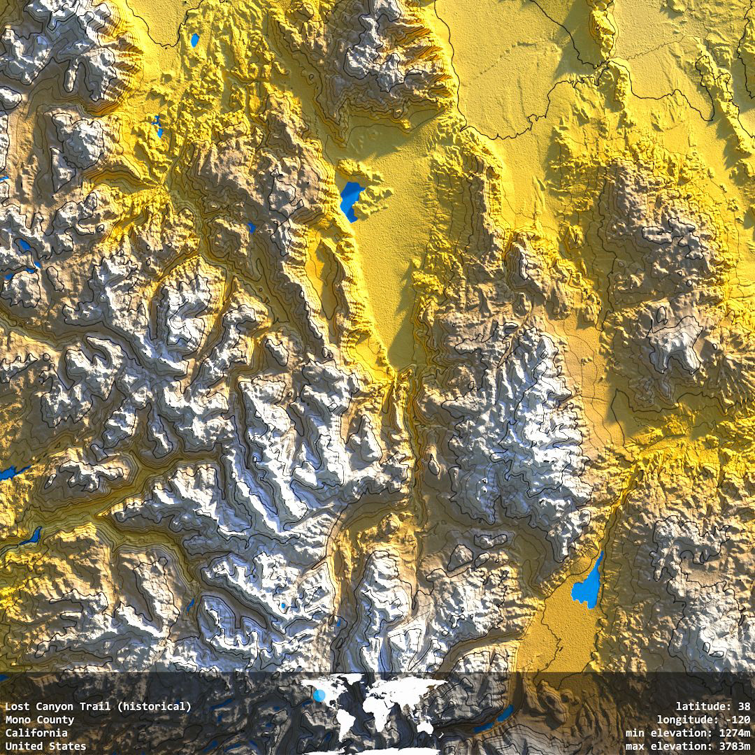
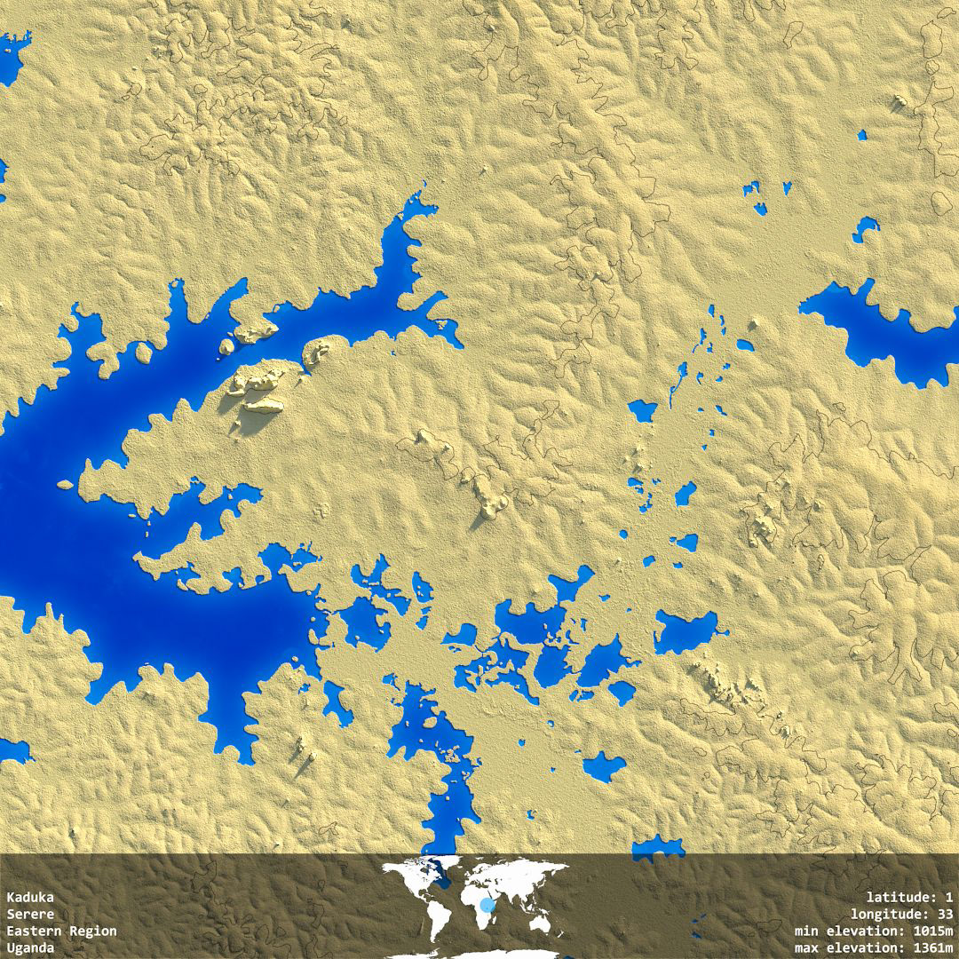
Hypsometry
An image series produced by AGNDR - an automated rendering bot which regularly creates new content and uploads it to Instagram & Twitter .
In Hypsometry a latitude-longitude pair is chosen at random and corresponding Elevation, Water coverage and Geocoding data is accessed from open APIs.
This data is merged into Houdini and used to drive rendering parameters. Tinting is based only on the absolute height of the land surface.
The Elevation dataset (SRTM) comprises more than 10,000 degree-square tiles. A small number of of tiles are rendered each day allowing a gradual exploration of the Earth's surface. The full tileset will take approximately 5 years to complete.
The rendered tiles can also be browsed on a map: